
Get Precise, Accurate Data with Boundary Surveys from Aerial Land Surveying – Serving Suffolk County, NYC, and Throughout the Region
Aerial Land Surveying is a land survey company located on Long Island. We provide a wide range of services to support your data collection efforts. One of the most common requests we receive are for boundary surveys, used to identify and optionally mark property boundaries accurately.
Boundary surveys determine legal property lines and their relationship to improvements on nearly any parcel of land. These measurements can be used for real estate transactions, land development, construction projects, legal disputes, and much more.
If you would like to inquire about our boundary surveys, or receive an estimate, please contact us today at 833-787-8393 or fill out our online form to get in touch with our team.

State of the Art Technology
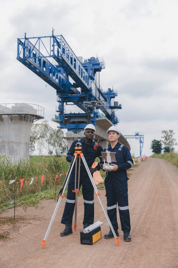
Our top tier equipment allows us to collect unlimited aerial data in a fraction of the time.

Hybrid Data Collection
You receive optimal insights through a combination of ground-based and aerial data collection techniques.

Constant Contact
Get immediate responses to questions that arise and stay in the loop throughout the whole process.
About Boundary Surveys
Our boundary surveys use state of the art aerial surveying technology, conducted with high precision to provide detailed and reliable property line data which enables a reduced need for traditional ground-based methods. When the property environment allows for it, aerial boundary surveys utilize drones, LiDAR, and photogrammetry to capture and depict existing conditions of parcels of all sizes and shapes.
Once completed, a boundary survey is used to establish the legal perimeters of land. We:
– Identify existing property markers and establish missing or disputed boundary lines.
– Review historical deeds, plats, and land records to confirm boundary accuracy.
– Conduct precise aerial measurements to verify property dimensions and features.
– Deliver a detailed survey map outlining property limits, easements, and encroachments.
Property boundary surveys are used by landowners, developers, government agencies, and legal professionals to ensure accurate property descriptions and prevent encroachment issues, and or team does a great job working with your organization to provide you with the data you require.
Benefits of Aerial Boundary Surveys Over Traditional Land Surveying
Aerial boundary surveys can be a useful tool for those looking for accuracy and high resolution imagery. The data collected is extensive and meets all regulatory requirements. Aerial surveying technology allows for data collection with minimal disturbance, and, in many cases, can be used in both urban and rural environments.
Next Steps with Aerial Land Surveying on Long Island
Aerial Land Surveying’s boundary surveys can be used in real estate transactions, construction, development, land disputes, or supporting agricultural and governmental projects.
Above all, these services are designed to provide accurate data to help you move forward with your projects. Our company is based in Suffolk County, and able to serve all of Long Island (including the Hamptons) and parts of New York City, among other cities in the region.
If you are looking for a boundary survey company near you, reach out to Aerial Land Surveying today to get started.
get in touch
Aerial Land Surveying has provided expert land surveyors to countless property owners in New York, and we can’t wait to include you among them.
Whether you’re interested in gaining information about your property and its surroundings, or want advice from a survey company near you, we got you covered.
For more specific projects, please fill out the form below.