
Surveys of East Hampton with Aerial Technology to Help Move Your Project Forward
Throughout the lifespan of a property, there may be situations in which your project requires precise survey data. Accurate and precise data is needed when obtaining a mortgage, building a property, making renovations, assessing for risks and damages, or addressing a legal dispute, or countless other projects.
Addressing these needs requires accurate data. Aerial surveys are a useful way to obtain that data. Using technology like drones and LiDAR, among other data collection tools, allows for precision measurement that supports the goals of your project. At Aerial Land Surveying, we provide Long Island – including East Hampton – with data that addresses their needs from a company that is dedicated to satisfaction.
If you require a survey in East Hampton, reach out to Aerial Land Surveying today by calling 833-787-8393. You can also fill out the online form below at the bottom of the page and we will do our best to respond to you as soon as we’re able. We can usually provide estimates on the phone, and offer transparent pricing to help you manage your budget.

State of the Art Technology
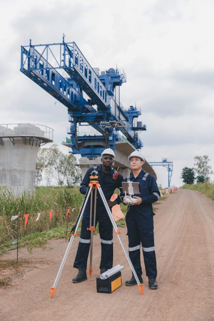
Our top tier equipment allows us to collect unlimited aerial data in a fraction of the time.

Hybrid Data Collection
You receive optimal insights through a combination of ground-based and aerial data collection techniques.

Constant Contact
Get immediate responses to questions that arise and stay in the loop throughout the whole process.
What Types of Surveys Do We Offer at Aerial Land Surveying?
Aerial land surveys can often be deployed on many of the same projects as traditional
surveys. The aerial technology provides detailed data that supports your goals,
navigating otherwise difficult terrain from a high viewpoint. As a result, we are able to
work with surveys that include, but are not limited to:
- Boundary Surveys
- Mortgage Surveys
- Topographic Surveys
- Spot Elevation Surveys
- Property Corner Stakeouts
- Health Department Surveys
- Permit Surveys
- Architectural Surveys
- ALTA Surveys (American Land Title Association Surveys).
We are able to support developers, town services, title companies, individual homeowners, real estate attorneys, and many others. Projects that need land surveys
often find that aerial surveys provide the efficiency and data that they require.
Our work is also performed by a team that is dedicated to customer service and support each step of the way.
Builders Package in East Hampton
Many projects also require more than one type of survey, as well as surveys that are completed over multiple phases of the project. Rather than treat these as individual estimates we have the option to combine surveys into a “Builders Package” that typically includes a conditions survey, foundation stakeouts, and a final survey, but can also be customized to suit your goals. If you suspect that more than one survey may be required for your project, let us know and we’ll discuss options.
Obtain Precision Data with Aerial Land Surveying
Aerial Land Surveying is an aerial survey company serving nearly all of Long Island, with particular emphasis in the Hamptons. We are often contacted by individuals in East Hampton that are in need of precision surveys using state-of-the-art technology, and we are able to provide that using our survey tools and expertise.
Send us details about your project using the form below, and one of our team members will reach out to you as soon as we’re able.
get in touch
Aerial Land Surveying has provided expert land surveyors to countless property owners in New York, and we can’t wait to include you among them.
Whether you’re interested in gaining information about your property and its surroundings, or want advice from a survey company near you, we got you covered.
For more specific projects, please fill out the form below.