Do Property Boundaries Change – and How?
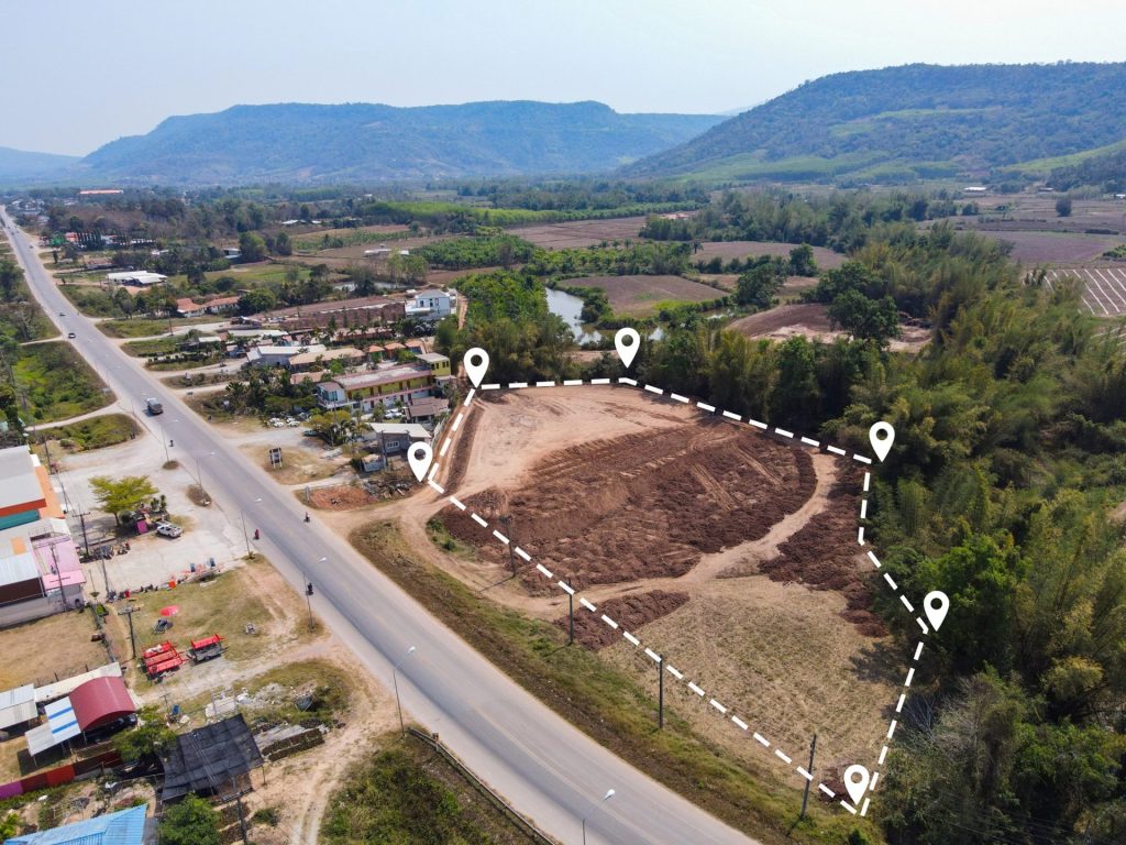
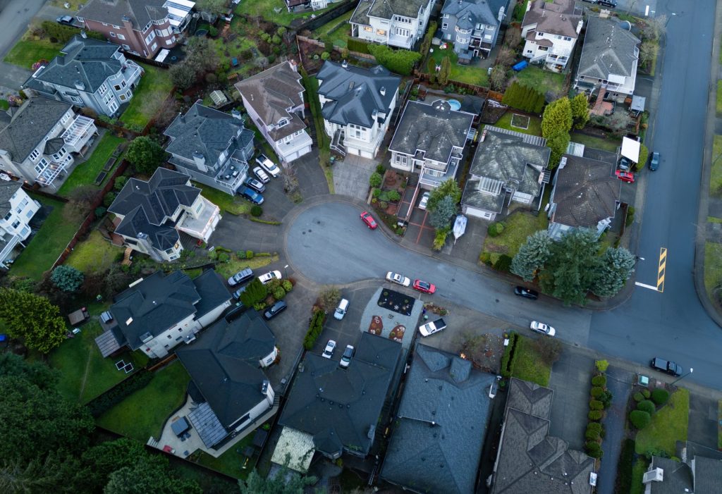
Property boundaries are often treated as fixed, permanent lines. On paper, they usually look like squares, rectangles, or the occasional oblong shape. Looking at your property from above, you may be able to see where your property line appears, defined by bearings, distances, and monuments recorded in public records. In practice, however, property lines exist […]
Do Property Boundaries Change – and How? Read More »


