
Precision Elevation Surveys for Floodplain Analysis, Construction, and Land Development – Serving Suffolk County, NYC, and Beyond
Aerial Land Surveying provides land surveys using aerial technology. Often we are contacted for elevation surveys, used by property owners, developers, engineers, and even municipal planners throughout Suffolk County, and much of Long Island and NYC.
We collect surveys that deliver detailed elevation data to assist with floodplain management, site grading, infrastructure planning, and regulatory compliance. Our surveys will provide you with information you need about land heights, ground contours, building elevations relative to sea level, and more, all to help you with your floodplain assessments construction permits, zoning requirements, or any other projects you’re undertaking.
Get started today with Aerial Land Surveying by filling out our online form. You can also reach us directly during business hours at 833-787-8393.

State of the Art Technology
Our top tier equipment allows us to collect unlimited aerial data in a fraction of the time.

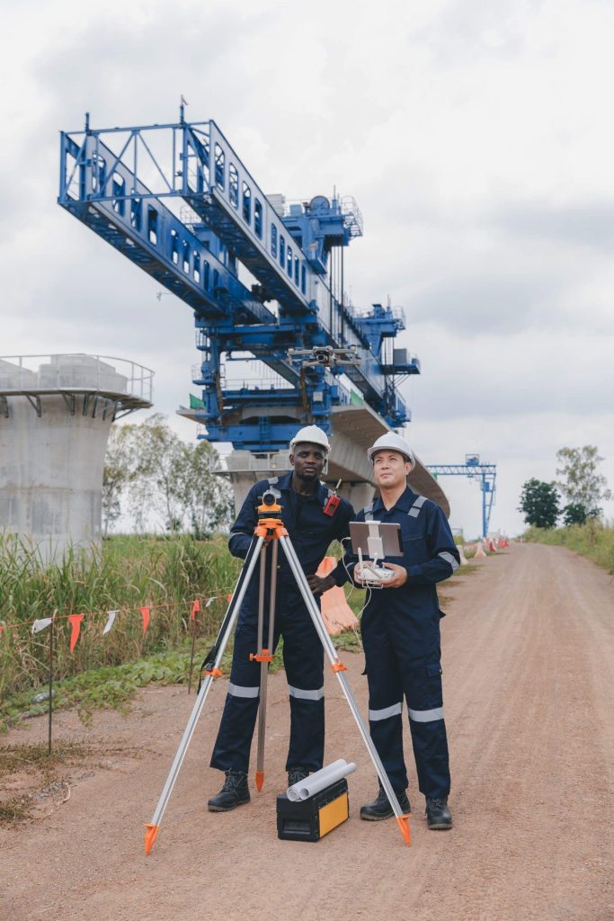
Hybrid Data Collection
You receive optimal insights through a combination of ground-based and aerial data collection techniques.

Constant Contact
Get immediate responses to questions that arise and stay in the loop throughout the whole process.
How Our Elevation Surveys Work
Aerial Land Surveying conducts elevation surveys through aerial survey technologies – surveys that take place through drones and other technology. This approach is useful for elevation surveys, as they allow us to collect data efficiently – with precise measurement and mapping – with less manual involvement.
Our elevation surveys are able to provide detailed topographic and contour mapping for construction and drainage planning, provide elevation certificates and documentation for FEMA, verify compliance with zoning codes, and more, all quickly and thoroughly.
You can trust that our elevation surveys conducted by the team here at Aerial Land Surveying adhere strictly to regulatory standards, ensuring accuracy and reliability in support of your project goals.
Benefits of Aerial Elevation Surveys
Aerial elevation surveys are useful, especially for properties in flood-prone areas or challenging terrains. Using drones, LiDAR technology, and advanced photogrammetry methods make it possible to obtain accurate data with excellent efficiency and accuracy, even over difficult terrain. It is an excellent choice for those on strict timelines, and those that need to travel over land that may be otherwise difficult to access.
It is possible for some surveying methods may be limited by terrain complexity or the size of the area surveyed. Aerial surveying addresses these limitations through efficient, accurate data collection methods, particularly beneficial for floodplain management and large-scale developments.
Utilizing aerial technology for elevation surveys allows for quick turnaround, detailed imagery, and highly precise elevation measurements, ensuring that your project meets regulatory standards and remains on schedule.
Elevations can be shown on the survey in assumed datum, NAV88 (NAVD 1988), NGD29 (1929 Datum), or other common formats.
Request Your Elevation Survey with Aerial Land Surveying Today
Elevation surveys are valuable tools for flood risk assessment, construction planning, regulatory compliance, and property management. Aerial Land Surveying ensures your elevation survey data is accurate, reliable, and meets all regulatory standards.
Based in Suffolk County, we serve clients across Long Island, New York City, and surrounding areas. For inquiries or to request a quote for an elevation survey, call us at 833-787-8393 or fill out our online contact form today.
get in touch
Aerial Land Surveying has provided expert land surveyors to countless property owners in New York, and we can’t wait to include you among them.
Whether you’re interested in gaining information about your property and its surroundings, or want advice from a survey company near you, we got you covered.
For more specific projects, please fill out the form below.