
Obtain FEMA Elevation Certificates for Flood Insurance, Permitting, and Regulatory Compliance on Long Island and in Parts of New York City
Aerial Land Surveying provides FEMA Elevation Certificates required for flood insurance policies, construction permits, and regulatory compliance. We are based in Suffolk County and work with properties and projects in all of Long Island and parts of NYC.
FEMA Elevation Certificates verify a property’s elevation relative to established flood zones and help property owners, insurance companies, municipalities, and regulatory agencies manage floodplain development effectively.
Our accurate and detailed elevation certificates are useful for determining flood risks, complying with local building codes, and meeting FEMA’s regulatory standards.
If you need a FEMA Elevation Certificate, or would like to discuss your specific needs, contact Aerial Land Surveying today. You can reach us by phone at 833-787-8393 or fill out our online form to request an estimate or call back.

State of the Art Technology
Our top tier equipment allows us to collect unlimited aerial data in a fraction of the time.

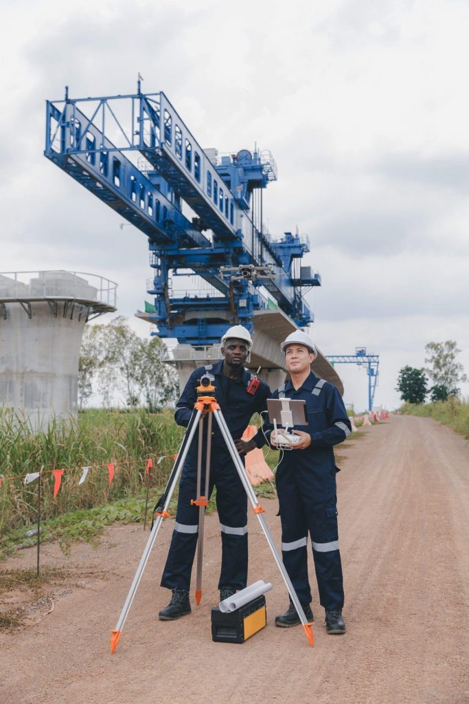
Hybrid Data Collection
You receive optimal insights through a combination of ground-based and aerial data collection techniques.

Constant Contact
Get immediate responses to questions that arise and stay in the loop throughout the whole process.
Comprehensive FEMA Elevation Certificate Services
FEMA Elevation Certificates have different purposes. Sometimes, they are necessary for obtaining flood insurance. Other times, they are used to make sure that a new development is properly elevated above the floodplain. They may also be needed for Letters of Map Change (LOMC) requests, among many other uses.
In order to obtain one, you need a survey company that can help you obtain precise data. Our FEMA Elevation Certificate services utilize advanced aerial survey technologies, including drones, LiDAR, and photogrammetry. They are often used in combination with traditional surveying methods when needed. These surveys allow for highly precise elevation data collection, meeting FEMA’s strict documentation requirements.
Our FEMA Elevation Certificate services include:
– Accurately determining property elevation relative to FEMA-designated flood zones.
– Providing detailed documentation of elevations for structures, basements, and property improvements.
– Assessing flood risks and supporting flood mitigation strategies.
– Preparing FEMA-compliant elevation certificates for flood insurance and municipal permitting.
FEMA Elevation Certificates provided by Aerial Land Surveying are conducted in strict compliance with local, state, and federal guidelines, ensuring accuracy and reliability. We also work diligently to make sure that your certificates are obtain on time and with all the data you need to move your project forward.
Benefits of Aerial FEMA Elevation Surveys
Aerial surveying technology is an effective way to obtain elevation data, used for floodplain analysis and elevation determination. It offers high-precision data collection that is helpful for accurate flood zone classification. It has fast data acquisition and turnaround times to help you streamline the permit and insurance process. It also reduces disruption on your property and can help collect data in otherwise difficult to reach places.
Our aerial approach ensures that FEMA Elevation Certificates meet regulatory standards and accurately represent your property’s flood risk.
Request Your FEMA Elevation Certificate from Aerial Land Surveying
FEMA Elevation Certificates are used in many settings. Whether it’s for flood insurance coverage, building permits, regulatory compliance, or something else, when you need a FEMA Elevation Certificate, reach out to Aerial Land Surveying.
We work with property owners, developers, insurance professionals, municipalities, and others that require a FEMA Elevation Certificate for their project. Based in Suffolk County, we serve Long Island, New York City, and surrounding regions. If you need a FEMA Elevation Certificate, contact Aerial Land Surveying today at 833-787-8393 or complete our online form to request your elevation survey or consultation.
get in touch
Aerial Land Surveying has provided expert land surveyors to countless property owners in New York, and we can’t wait to include you among them.
Whether you’re interested in gaining information about your property and its surroundings, or want advice from a survey company near you, we got you covered.
For more specific projects, please fill out the form below.