
Accurate Boundary Identification and Stakeout Services for Construction and Property Development – Serving Long Island, Parts of NYC, and Beyond
Aerial Land Surveying provides reliable property corner, often referred to as “stakeouts.” These surveys support property development, construction projects, fencing installations, and legal boundary definitions throughout the area.
We at Aerial Land Surveying are ready to help organizations that require precision and detail. Our property stakeout services ensure exact placement of property markers, clearly defining property lines and corners to prevent disputes and ensure compliance with zoning and local building regulations.
If you need an elevation stakeout survey, or to request a quote, contact Aerial Land Surveying today at 833-787-8393 or complete our online form to reach our surveying specialists.

State of the Art Technology
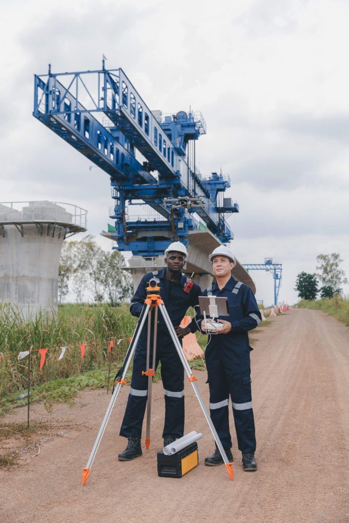
Our top tier equipment allows us to collect unlimited aerial data in a fraction of the time.

Hybrid Data Collection
You receive optimal insights through a combination of ground-based and aerial data collection techniques.

Constant Contact
Get immediate responses to questions that arise and stay in the loop throughout the whole process.
Property Stakeout Surveys for Land Development
Aerial Land Surveying conducts property stakeouts for organizations throughout Long Island and the surrounding region. We utilize technology that provides detailed information, through drones, total stations, LiDAR scanning, and photogrammetry when site conditions permit, delivering accurate and efficient surveys with minimal disruption.
When you elect to work with Aerial Land Surveying, you are working with a company that will provide:
– Accurate and detailed marking of property corners and boundaries.
– Installation of physical markers or stakes to clearly indicate property lines on-site.
– Verification of existing property lines against current deed records, surveys, and municipal zoning codes.
– Production of documentation compliant with regulations and suitable for legal use or construction planning.
Our goal is to provide you with precise, clearly marked property boundaries that your organization can use to prevent encroachments, support fence installation, facilitate construction layouts, help maintain compliance with zoning regulations, or whatever else your project requires.
Our role is to make sure that you have the data that your project requires to complete your requirements on time and accurately.
Advantages of Aerial Property Stakeouts
Property stakeouts using aerial technology offer several advantages for those that need a stakeout on Long Island. These benefits include:
– High accuracy in locating and marking property boundaries.
– Rapid data collection and quick project completion timelines.
– Detailed mapping suitable for complex, large, or challenging terrains.
– Reduced disruption to existing landscapes and surrounding properties.
At Aerial Land Surveying, our approach provides accurate, comprehensive property boundary data, ensuring your projects progress efficiently and remain compliant with all relevant regulatory standards.
Schedule Your Property Stakeout Survey with Aerial Land Surveying
Aerial Land Surveying specializes in reliable and accurate property stakeouts to support real estate, construction, and development projects across Long Island, New York City, and the broader region.
For a consultation or estimate for property stakeout services, contact us today at 833-787-8393 or fill out our convenient online form.
get in touch
Aerial Land Surveying has provided expert land surveyors to countless property owners in New York, and we can’t wait to include you among them.
Whether you’re interested in gaining information about your property and its surroundings, or want advice from a survey company near you, we got you covered.
For more specific projects, please fill out the form below.