Aerial Land Surveying Provides Land Surveying and Support Services in Long Island, NYC, and Beyond

Construction, urban planning, mortgage/title, transportation, agriculture, and more – many industries benefit from land surveying. At Aerial Land Surveying in New York, we use state-of-the-art tools and years of experience to provide you with the data and information that your project needs to move forward.

Our team is capable of a broad range of services for a diverse clientele, and we are happy to talk to you about your next upcoming project. Reach out to us today at 833-787-8393 or fill out our online form and one of our team members will contact you as soon as possible for estimates or scheduling.

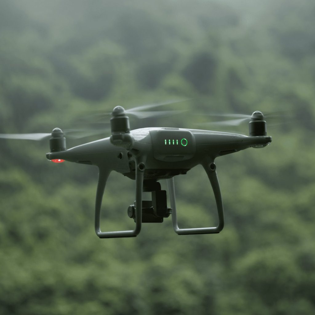
State of the Art Technology

Our top tier equipment allows us to collect unlimited aerial data in a fraction of the time.

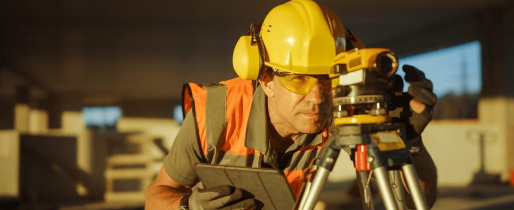
Hybrid Data Collection

You receive optimal insights through a combination of ground-based and aerial data collection techniques.

Constant Contact

Get immediate responses to questions that arise and stay in the loop throughout the whole process.

Land Surveyor Long Island

What We Offer at Aerial Land Surveying

Our goal at Aerial Land Surveying is to provide you with a source you can turn to for high-quality, detailed data for your project. Our aerial survey team can support essentially any type of survey work, including – but not limited to:

  • Boundary surveys are land surveys designed to identify improvements on the property and their relationship to the boundary line. It’s an effective way to help solve land disputes, identify property boundaries, and comply with zoning laws.
  • Title Survey – Sometimes referred to as “mortgage surveys,” Title Surveys are designed to verify or confirm that the description of the property matches the actual property, examining property lines, encroachments, or anything that might affect either ownership or property value.
  • ALTA Survey – ALTA stands for the American Land Title Association. An ALTA survey is similar to a title survey, except it requires more data and details and is more common with commercial real estate transactions or complex transactions that require better and more thorough data collection.
  • Topographic surveys are surveys that provide a 2-dimensional depiction of the contours to help you visualize the 3-dimensional state of the land. These surveys typically have contour lines, and can show natural features, manmade features, elevations, and other detailed information.
  • Elevation Surveys – There are different types of elevation surveys. Some elevation surveys are similar to topographic surveys, marking the elevation across land. Others, however, are called “Spot Elevation” surveys, which involve determining the height of a location from a specific spot that may or may not be a part of the survey (for example, the height of land above sea level.
  • Property Corner Stakeout – Known in the industry as “Flagging the Corners” or a “Markout,” is a type of land surveying that involves placing physical markers around the property lines. These are typically used to help those working in that area stay within their boundaries. Property corner stakeouts are useful because physical markers aid in easy construction of a wall or installing a fence.
  • Permit Surveys – Permit surveys are typically used by those that are trying to get permits for property additions. But they may also be used to retroactively legalize an improvement that was made without a permit, such as adding a pool or deck, or building a second structure.
  • Health Department Survey– Health department land surveys are typically conducted by municipalities that are trying to make sure that there are no public health risks around or near a property. For example, they may be used to determine utility locations or spot nearby environmental hazards. Sometimes they are used for cesspool installation or to obtain a certificate of occupancy.
  • Builder’s Package – We also offer a “Builder’s Package” here in New York, which is a collection of services that includes an existing conditions survey, a foundation stakeout, and a final survey among other data points.
  • FEMA Elevation Certificate– FEMA elevation certificates, also known as “flood certificates,” are designed to find properties at risk of flooding. There are many areas in NYC and beyond where these types of surveys are critically important for ensuring property safety.
  • Architectural Survey – Architectural Surveys are a specific type of survey that includes elevations and shows sub-surface features like utilities and sanitary systems underground, to allow for better overall lot planning. New York has more architects than any other state – even California – making these surveys quite common.
  • Subdivisions / Lot Splits – It can take a lot of work to plan a subdivision or split a lot effectively. Our team is able to map out the best possible setup for the subdivision and support you in your planning efforts.
  • Property Corner Monument Install – Similar to a property corner stakeout, this process involves adding a permanent marker to the corners of a property to clearly and permanently (or semi-permanently) define the boundary line.


All of our aerial survey options are designed around your needs. Our team uses hi-tech equipment to acquire data, and is here to support you along the way.

Our Service Area in New York

Aerial Land Surveying is based on Long Island, but we are licensed to be able to serve clients all around New York City. We service Suffolk County, Nassau County, and parts of NYC. You can find us in the Hamptons, South Shore, and all throughout the area..

Our goal is to be your source for aerial land survey data. If you’re interested in learning more, please reach out to our team, today.  

get in touch

Aerial Land Surveying has provided expert land surveyors to countless property owners in New York, and we can’t wait to include you among them.
Whether you’re interested in gaining information about your property and its surroundings, or want advice from a survey company near you, we got you covered.
 

For more specific projects, please fill out the form below.