
Detailed Topographic Surveys for Land Development, Construction, and Environmental Analysis – Serving Suffolk County, NYC, and the Surrounding Region
Aerial Land Surveying provides comprehensive topographic surveys used for projects such as for property development, construction planning, environmental assessment, and engineering projects. We are based on Long Island in Suffolk County, and are here to make sure you have detailed topographical surveys utilizing aerial land survey technology that provides you with data you need.
Our topographic surveys deliver detailed information about land elevations, natural and man-made features, drainage patterns, and terrain contours. This data supports informed decision-making for developers, engineers, architects, and planners, ensuring accuracy and compliance with regulatory requirements.
If you need a topographic survey or would like to request a quote, contact Aerial Land Surveying at 833-787-8393 or fill out our online form to speak with our survey team.

State of the Art Technology
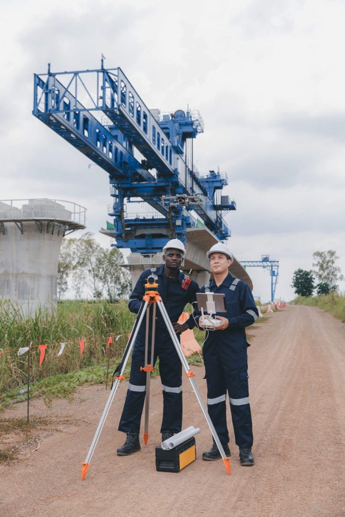
Our top tier equipment allows us to collect unlimited aerial data in a fraction of the time.

Hybrid Data Collection
You receive optimal insights through a combination of ground-based and aerial data collection techniques.

Constant Contact
Get immediate responses to questions that arise and stay in the loop throughout the whole process.
Comprehensive Topographic Survey Services
Aerial Land Surveying conducts topographic surveys using state-of-the-art aerial survey technology, including drones, LiDAR scanning, and photogrammetry, when site conditions permit. Our advanced surveying process provides accurate elevation data, detailed contour maps, and thorough site analysis.
Our topographic surveying services include:
– Identifying and mapping natural and artificial land features, including vegetation, buildings, roads, utility lines, and waterways.– Measuring precise elevations and creating detailed contour lines to represent terrain accurately.
– Determining drainage patterns, flood risks, and potential environmental concerns.
– Producing detailed topographic maps and digital terrain models to facilitate engineering and design processes.
Topographic surveys from Aerial Land Surveying are conducted to industry standards and regulatory guidelines, ensuring reliable data for your project needs. We also personalize our approach to match your needs, and make ourselves available to answer any questions or issues you may have.
Why Choose Aerial Topographic Surveys?
Aerial topographic surveys provide information that may be difficult to obtain through traditional approaches. It provides data with minimal site disruption, the ability to capture complex or otherwise difficult to access terrain, and data that can typically be completed with excellent efficiency – a great choice for engineering or environmental compliance.
Our technology allows for effective survey solutions with detailed topographic data suitable for many projects. We also deliver the data to you in the format you need most.
Schedule a Topographic Survey with Aerial Land Surveying
Topo surveys provide essential information for property development, environmental management, and infrastructure projects. Whether you require data for residential developments, commercial properties, or public projects, our team provides precise and actionable topographic information tailored to your needs.
Based in Suffolk County, our services extend throughout Long Island, New York City, and the surrounding region. If you require a professional and reliable topographic survey company, contact Aerial Land Surveying today at 833-787-8393 or submit our online form to discuss your project or request a quote.
get in touch
Aerial Land Surveying has provided expert land surveyors to countless property owners in New York, and we can’t wait to include you among them.
Whether you’re interested in gaining information about your property and its surroundings, or want advice from a survey company near you, we got you covered.
For more specific projects, please fill out the form below.